 Slovenski INSPIRE metapodatkovni sistem
Keyword
Pokrovnost tal
27 record(s)
Type of resources
Categories
INSPIRE themes
Keywords
Formats
Representation types
Scale
Resolution
-
Storitev omogoča prenos podatkov, skladnih z INSPIRE.
-
WMS storitev za INSPIRE površine pokrovnosti tal / LC.LandCoverSurfaces
-
Storitev omogoča WMS prikaz podatkov.
-
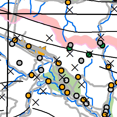
Gre za bazo pokrovnosti tal za leto 2012. Baza podatkov CLC 2012 predstavlja pokrovnost tal za leto 2012. CLC 2012 je kombinacija revidirane baze za leto 2006 in baze sprememb med letoma 2006 in 2012. V Sloveniji je 34 razredov od 44 kot jih pozna CORINE. Najpogostejši tip pokrovnosti so gozdovi, ki predstavljajo več kot 50 % površja. Podatki so v vektorski prostorski bazi. Karta predstavlja realno stanje, ki ga je zaznal satelit.Podatkovni niz vsebuje:- 54.110,20 ha (Vodnih površin)- 3.423,15 ha (Z vodo namočenih površin)- 1.327.029,65 ha (Gozdnih in deloma ohranjenih naravnih površin)- 733.153,83 ha (Kmetijskih povšin)- 62.466,57 ha (Umetnih površin)
-
WMS storitev nad podatki zbirke Identifikacijski sistem za zemljišča (Blok/GERK)
-
Vector data collection DPK 750V is an object-oriented cartographic database at 1 : 750 000 scale. Elements on the map are divided into eight object groups: mathematical elements, settlements and objects, communications, relief, hydrography, land cover, boundaries and dividing line, geographical names. The data set is used for "rough" geo-orientation and for the needs of large scale and thematic displaying.
-
The vector collection of data DPK 250V is object oriented cartographic database at 1 : 250 000 scale. Elements on the map are divided into eight groups: mathematical elements, settlements and objects, communications, relief, hydrography, land cover, boundaries and dividing lines, geographical names.
-
The National General Map at 1 : 1 000 000 Scale shows the entire territory of Slovenia on one sheet of A4 format. Layers: mathematical elements, settlements and objects, communications, relief, hydrography, land cover, boundaries and dividing line, geographical names. The dataset is used for "rough" geo-orientation and for the needs of large scale and thematic displaying.
-
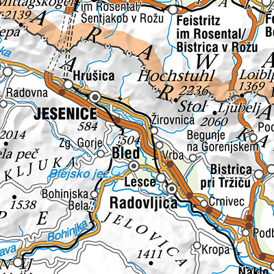
A brief description: National Topographic Map at 1 : 50 000 scale - vector data (DTK 50V) is an object-oriented cartographic database (vector elements). The objects are categorized into eight object groups: - mathematical elements - settlements and facilities - communications - relief - hydrography - land cover - boundaries and dividing lines - geographical names. DTK 50V is from 2017 available also as a seamless vector cartographic set of data, which is maintained as SHP files (46). SHP files are also available for the users. The data of the vector DTK 50 are used for spatial planning, for field orientation purposes, as a basis for other topics and as a source for the production of different maps.
-
The National General Map at 1 : 750 000 Scale shows the entire territory of Slovenia on one sheet of A3 format. Layers: mathematical elements, settlements and objects, communications, relief, hydrography, land cover, boundaries and dividing line, geographical names. The data set is used for "rough" orientation in the space and for the needs of large scale and thematic displaying.